FOUR coronavirus hotspots have been identified in England after two new sub-strains of the virus were also detected.
Data from the UK Health Security Agency (UKHSA) shows where the most affected areas in the country are.
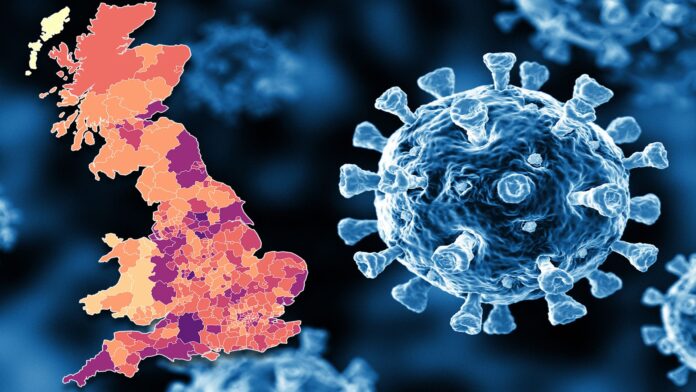
The map above can help you understand how at risk you are when it comes to catching the illness.
Areas shaded in the darkest colours are the worst hit by infection, with four areas having 500 to 1,000 cases.
The four worst hotspots are:


