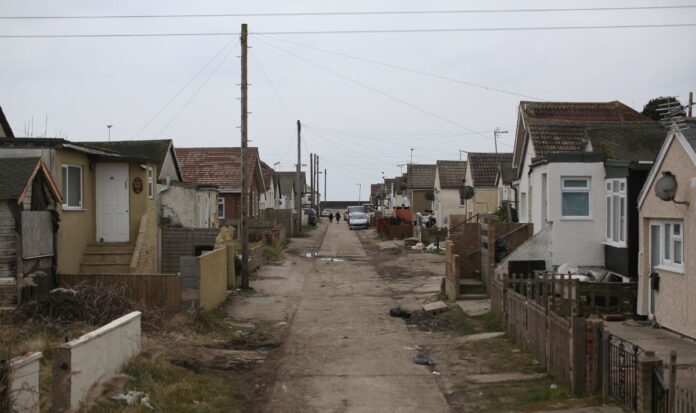
The headline figures of the cost-of-living crisis are well-known and impact Britons everywhere: persistently high inflation, rising interest rates and mortgage costs through the roof. Some towns in England, however, were in a far more vulnerable position long before Russia ‘s invasion of Ukraine sent energy and food prices spiralling. Researchers at the Office for National Statistics (ONS) recently looked at deprivation levels in and among the country’s 32,844 neighbourhoods. Compiling measures of income, employment , education and health – alongside 33 other metrics – ‘indices of multiple deprivation’ (IMD) are the most complete way of assessing how difficult life is for a particular community. Lots of the worst-off neighbourhoods are in big cities like Blackpool, Liverpool and Burnley. Here, Express.co.uk looked exclusively at extreme poverty in towns with a population below 50,000 – whose residents are also deprived of immediate access to a wider, wealthier area. Jaywick: long since crowned the most deprived place in England (Image: GETTY) Jaywick is a small seaside town on the Essex coast. It has a longstanding reputation as the most deprived town in England, and this is borne out but it have the worst IMD score in the country, at 92.7 out of 100. Residents lament rampant drug use, litter and dilapidated houses , alongside a lack of support from Tendring Council. In 2015, Channel 5 released a controversial documentary – Benefits by the Sea: Jaywick – starring a pregnant heroin addict and a woman with confused.com tattooed on her forehead. The next-most deprived area is just two miles up the road, Clacton-on-Sea, with an IMD of 83.9. Recent research published by the End Child Poverty Coalition found over a third (34.8 percent) of the town’s children were considered to be in poverty. A new film by Sam Mendes will focus on Margate’s lost glamour (Image: GETTY) In third place was Gainsborough in Lincolnshire, where the neighbourhood just south of the town centre registered an IMD of 81.3. This was followed by part of the seafront in Morecambe, Lancashire (79.1), the port area of Bridlington in Yorkshire (78.1) and the centre of Sheerness in Kent (77.9). As shown by the map, a high proportion of these places are in coastal areas. Over 5.3 million people live by the sea in Britain in some 170 towns – two-thirds (67 percent) of which fall into the ONS’s higher income deprivation category, compared to just over one-third (36 percent) of non-coastal towns. On the east coast of England, this share shoots up to 85 percent. Health outcomes are generally worse there as a result, with a 2021 report by England’s chief medical officer Professor Chris Whitty highlighting the disproportionately high rates of chronic disease, poor life expectancy and mental illness in many holiday hotspots.
Map of the most deprived towns in England where one in five are poor mapped
Sourceexpress.co.uk
RELATED ARTICLES


